 AZARA
AZARA
Current Status
Where is the vessel?
AZARA is currently in 12 nm NE of Mykonos, based on AIS data received about 14h ago.
Latest AIS update:
Current position: 37.60388° N, 25.49632° E (12 nm NE of Mykonos)
Average speed (last 7 days): Loading…
Average speed (last 30 days): Loading…
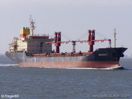
Vessel profile: AZARA is a Bulk Carrier with dimensions m x m.
This page combines live AIS, route history, probable destination signals, nearby traffic, and port activity for practical vessel monitoring.
The current position of vessel AZARA is 37.60388 lat / 25.49632 lng. Updated: 2026-05-19 03:49:31 UTCNearest reference points:
- Near MYKONOS OLD PORT
- 13 nm NW of Karkinagri Ikarias
- Near Delos
Currently sailing under the flag of Palau ![]()
Details:
Live Vessel AZARA Analytics (details, animations, etc.)
Recent AIS points (UTC):
2026-05-18 23:34:21 UTC · 38.24260, 24.86773 · SOG 11.3 kn · COG 137°2026-05-19 01:28:00 UTC · 37.95959, 25.14400 · SOG 11.2 kn · COG 141°
2026-05-19 01:37:30 UTC · 37.93591, 25.16657 · SOG 11.1 kn · COG 138°
2026-05-19 03:49:31 UTC · 37.60388, 25.49632 · SOG 11.4 kn · COG 141°