 Huali
Huali
Current Status
Where is the vessel?
Huali is currently in Near Boseong-gun, based on AIS data received about 14h ago.
Latest AIS update:
Current position: 34.71239° N, 127.82211° E (Near Boseong-gun)
Average speed (last 7 days): Loading…
Average speed (last 30 days): Loading…
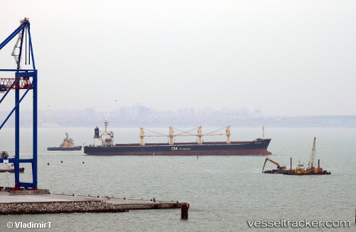
Vessel profile: Huali is a Bulk Carrier with dimensions 135m x 185m.
This page combines live AIS, route history, probable destination signals, nearby traffic, and port activity for practical vessel monitoring.
The current position of vessel Huali is 34.71239 lat / 127.82211 lng. Updated: 2026-05-21 03:55:45 UTCNearest reference points:
- Near Yeosu
- Near Boseong-gun
- Near Sangam-dong
Currently sailing under the flag of Panama ![]()
Huali built in 1996 year
Deadweight:
45675 tDetails:
Live Vessel Huali Analytics (details, animations, etc.)
Recent AIS points (UTC):
2026-05-21 01:01:43 UTC · 34.71213, 127.82218 · SOG 0.2 kn · COG 239°2026-05-21 01:01:43 UTC · 34.71213, 127.82218 · SOG 0.2 kn · COG 239°
2026-05-21 03:37:40 UTC · 34.71263, 127.82197 · SOG 0.1 kn · COG 226°
2026-05-21 03:55:45 UTC · 34.71239, 127.82211 · SOG 0.1 kn · COG 252°