 DERYA AYTEKIN
Current Status
Where is the vessel?
DERYA AYTEKIN is currently in 24 nm E of TASUCU, based on AIS data received about 14h ago.
Latest AIS update:
Current position: 36.19333° N, 34.35833° E (24 nm E of TASUCU)
Average speed (last 7 days): Loading…
Average speed (last 30 days): Loading…
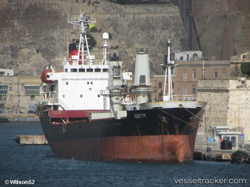
Vessel profile: DERYA AYTEKIN is a General Cargo with dimensions m x m.
This page combines live AIS, route history, probable destination signals, nearby traffic, and port activity for practical vessel monitoring.
The current position of vessel DERYA AYTEKIN is 36.19333 lat / 34.35833 lng. Updated: 2026-05-22 21:59:24 UTCNearest reference points:
- Near Mersin
- Near Mersin-Free Zone
- 15 nm SW of Yesilovacik
Currently sailing under the flag of Saint Kitts and Nevis ![]()
Details:
Live Vessel DERYA AYTEKIN Analytics (details, animations, etc.)
Recent AIS points (UTC):
2026-05-22 19:50:28 UTC · 36.12882, 33.92696 · SOG 7.9 kn · COG 82°2026-05-22 19:58:48 UTC · 36.13146, 33.95011 · SOG 8.3 kn · COG 81°
2026-05-22 21:33:39 UTC · 36.18158, 34.26801 · SOG 10.4 kn · COG 81°
2026-05-22 21:59:24 UTC · 36.19333, 34.35833 · SOG 10 kn · COG -1°