 vesseltracker.com
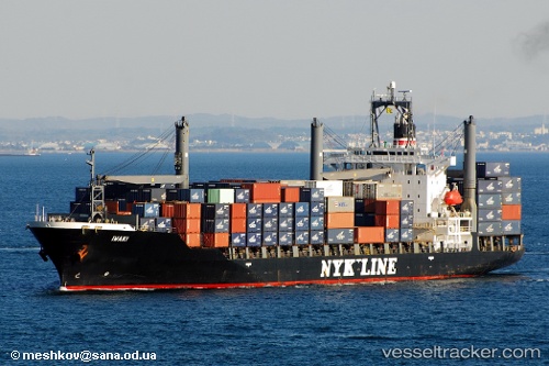
 Libra
Libra
Current Status
Where is the vessel?
Libra is currently in 73 nm S of AL MUKALLA, based on AIS data received about 16h ago.
Latest AIS update:
Current position: 13.33685° N, 49.38053° E (73 nm S of AL MUKALLA)
Average speed (last 7 days): Loading…
Average speed (last 30 days): Loading…
Vessel profile: Libra is a Container Ship with dimensions 193m x 28m.
This page combines live AIS, route history, probable destination signals, nearby traffic, and port activity for practical vessel monitoring.
The current position of vessel Libra is 13.33685 lat / 49.38053 lng. Updated: 2026-05-18 11:01:26 UTCCurrently sailing under the flag of St Vincent Grenadines ![]()
Libra built in 1997 year
Deadweight:
24383 tDetails:
Live Vessel Libra Analytics (details, animations, etc.)
Recent AIS points (UTC):
2026-05-18 09:46:14 UTC · 13.40773, 49.61454 · SOG 11.2 kn · COG -1°2026-05-18 10:21:19 UTC · 13.37473, 49.50562 · SOG 11.4 kn · COG -1°
2026-05-18 11:01:26 UTC · 13.33685, 49.38053 · SOG 11.4 kn · COG -1°
2026-05-18 11:01:26 UTC · 13.33685, 49.38053 · SOG 11.4 kn · COG -1°