 vesseltracker.com
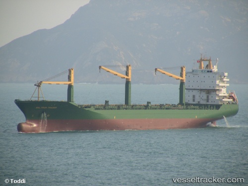
 LOA PEACE
Current Status
Where is the vessel?
LOA PEACE is currently in 11 nm N of Majistan/Zhoushan, based on AIS data received about 1d ago.
Latest AIS update:
Current position: 30.19102° N, 122.06136° E (11 nm N of Majistan/Zhoushan)
Average speed (last 7 days): Loading…
Average speed (last 30 days): Loading…
Vessel profile: LOA PEACE is a Container Ship with dimensions 30m x 207m.
This page combines live AIS, route history, probable destination signals, nearby traffic, and port activity for practical vessel monitoring.
The current position of vessel LOA PEACE is 30.19102 lat / 122.06136 lng. Updated: 2026-05-12 14:11:07 UTCNearest reference points:
- 11 nm N of Majistan/Zhoushan
- Near Majistan/Zhoushan
- Near JINHAI HEAVY INDUSTR
Currently sailing under the flag of Panama ![]()
LOA PEACE built in 1999 year
Deadweight:
34017 tDetails:
Live Vessel LOA PEACE Analytics (details, animations, etc.)
Recent AIS points (UTC):
2026-05-12 14:11:07 UTC · 30.19102, 122.06136 · SOG 0 kn · COG 242°2026-05-12 14:11:07 UTC · 30.19102, 122.06136 · SOG 0 kn · COG 242°
2026-05-12 14:11:07 UTC · 30.19102, 122.06136 · SOG 0 kn · COG 242°
2026-05-12 14:11:07 UTC · 30.19102, 122.06136 · SOG 0 kn · COG 242°