 BABUN EXPRESS
Current Status
Where is the vessel?
BABUN EXPRESS is currently in Near Hialeah, based on AIS data received about 15h ago.
Latest AIS update:
Current position: 25.79689° N, 80.24610° W (Near Hialeah)
Average speed (last 7 days): Loading…
Average speed (last 30 days): Loading…
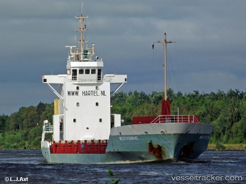
Vessel profile: BABUN EXPRESS is a General Cargo Ship with dimensions 14m x 91m.
This page combines live AIS, route history, probable destination signals, nearby traffic, and port activity for practical vessel monitoring.
The current position of vessel BABUN EXPRESS is 25.79689 lat / -80.24610 lng. Updated: 2026-05-20 19:10:26 UTCNearest reference points:
- Near Miami
- Near Miami River
- Near Coral Gables
Currently sailing under the flag of Honduras ![]()
BABUN EXPRESS built in 1996 year
Deadweight:
2780 tDetails:
Live Vessel BABUN EXPRESS Analytics (details, animations, etc.)
Recent AIS points (UTC):
2026-05-20 16:19:26 UTC · 25.79690, -80.24608 · SOG 0 kn · COG 130°2026-05-20 16:43:25 UTC · 25.79690, -80.24610 · SOG 0 kn · COG 130°
2026-05-20 17:49:27 UTC · 25.79688, -80.24609 · SOG 0 kn · COG 130°
2026-05-20 19:10:26 UTC · 25.79689, -80.24610 · SOG 0 kn · COG 130°