 G SUMMER
Current Status
Where is the vessel?
G SUMMER is currently in 16 nm NW of Sharjah, based on AIS data received about 14h ago.
Latest AIS update:
Current position: 25.57961° N, 55.15297° E (16 nm NW of Sharjah)
Average speed (last 7 days): Loading…
Average speed (last 30 days): Loading…
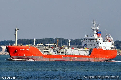
Vessel profile: G SUMMER is a Lpg Tanker with dimensions m x m.
This page combines live AIS, route history, probable destination signals, nearby traffic, and port activity for practical vessel monitoring.
The current position of vessel G SUMMER is 25.57961 lat / 55.15297 lng. Updated: 2026-05-23 01:42:05 UTCNearest reference points:
- Near Sharjah
- 17 nm NW of Free Port
- Near Free Port
Currently sailing under the flag of Angola ![]()
Details:
Live Vessel G SUMMER Analytics (details, animations, etc.)
Recent AIS points (UTC):
2026-05-22 22:29:47 UTC · 25.50862, 55.22774 · SOG 1.2 kn · COG 179°2026-05-23 00:11:20 UTC · 25.50852, 55.22724 · SOG 1 kn · COG -1°
2026-05-23 01:24:45 UTC · 25.53668, 55.20009 · SOG 12.4 kn · COG 309°
2026-05-23 01:42:05 UTC · 25.57961, 55.15297 · SOG 13 kn · COG 323°