 LUCKY GATE
Current Status
Where is the vessel?
LUCKY GATE is currently in 13 nm S of MUBARRAZ, based on AIS data received about 19h ago.
Latest AIS update:
Current position: 24.25546° N, 53.29812° E (13 nm S of MUBARRAZ)
Average speed (last 7 days): Loading…
Average speed (last 30 days): Loading…
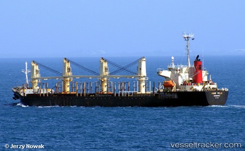
Vessel profile: LUCKY GATE is a Bulk Carrier with dimensions m x m.
This page combines live AIS, route history, probable destination signals, nearby traffic, and port activity for practical vessel monitoring.
The current position of vessel LUCKY GATE is 24.25546 lat / 53.29812 lng. Updated: 2026-05-22 05:51:33 UTCNearest reference points:
- Near Ar Ruways
- Near Yas Island
- Near JABAL AZ ZANNAH
Currently sailing under the flag of Saint Kitts and Nevis ![]()
Details:
Live Vessel LUCKY GATE Analytics (details, animations, etc.)
Recent AIS points (UTC):
2026-05-22 05:51:33 UTC · 24.25546, 53.29812 · SOG 0.1 kn · COG -1°2026-05-22 05:51:33 UTC · 24.25546, 53.29812 · SOG 0.1 kn · COG -1°
2026-05-22 05:51:33 UTC · 24.25546, 53.29812 · SOG 0.1 kn · COG -1°
2026-05-22 05:51:33 UTC · 24.25546, 53.29812 · SOG 0.1 kn · COG -1°