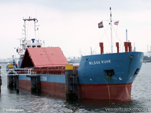
 Wilson Ruhr
Current Status
Where is the vessel?
Wilson Ruhr is currently in Near SKAGEN, based on AIS data received about 14h ago.
Latest AIS update:
Current position: 57.71708° N, 10.59948° E (Near SKAGEN)
Average speed (last 7 days): Loading…
Average speed (last 30 days): Loading…
Vessel profile: Wilson Ruhr is a Multi Purpose Carrier with dimensions 78m x 78m.
This page combines live AIS, route history, probable destination signals, nearby traffic, and port activity for practical vessel monitoring.
The current position of vessel Wilson Ruhr is 57.71708 lat / 10.59948 lng. Updated: 2026-05-21 04:30:14 UTCNearest reference points:
- Near SKAGEN
- Near Frederikshavn
- 15 nm N of Hirtshals
Currently sailing under the flag of Barbados ![]()
Wilson Ruhr built in 1997 year
Deadweight:
1831 tDetails:
Live Vessel Wilson Ruhr Analytics (details, animations, etc.)
Recent AIS points (UTC):
2026-05-21 01:24:12 UTC · 57.71721, 10.59974 · SOG 0 kn · COG 233°2026-05-21 01:45:12 UTC · 57.71722, 10.59975 · SOG 0 kn · COG 233°
2026-05-21 04:00:12 UTC · 57.71720, 10.59973 · SOG 0 kn · COG 233°
2026-05-21 04:30:14 UTC · 57.71708, 10.59948 · SOG 0.1 kn · COG 233°