 LORD HASSAN
Current Status
Where is the vessel?
LORD HASSAN is currently in 48 nm NE of Al Qusayr, based on AIS data received about 15h ago.
Latest AIS update:
Current position: 26.50060° N, 35.06416° E (48 nm NE of Al Qusayr)
Average speed (last 7 days): Loading…
Average speed (last 30 days): Loading…
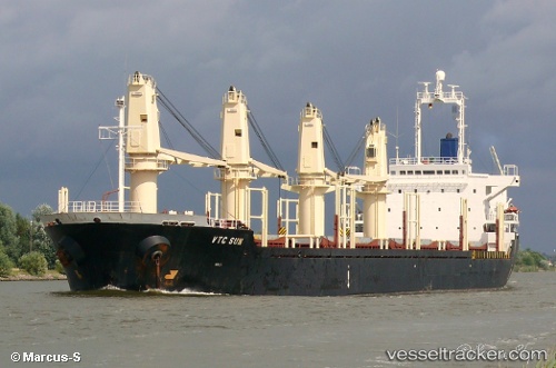
Vessel profile: LORD HASSAN is a Bulk Carrier with dimensions m x m.
This page combines live AIS, route history, probable destination signals, nearby traffic, and port activity for practical vessel monitoring.
The current position of vessel LORD HASSAN is 26.50060 lat / 35.06416 lng. Updated: 2026-05-22 04:14:37 UTCNearest reference points:
- Near Bur Safaga
- Near DUBA
- 15 nm SW of Al Khuraibah
Currently sailing under the flag of Palau ![]()
Details:
Live Vessel LORD HASSAN Analytics (details, animations, etc.)
Recent AIS points (UTC):
2026-05-22 01:06:17 UTC · 26.02532, 35.38692 · SOG 11.4 kn · COG 322°2026-05-22 02:03:58 UTC · 26.17406, 35.28480 · SOG 10.6 kn · COG 326°
2026-05-22 03:30:37 UTC · 26.39031, 35.13915 · SOG 10.5 kn · COG 324°
2026-05-22 04:14:37 UTC · 26.50060, 35.06416 · SOG 10.7 kn · COG 324°