 VESTMENNINGUR
Current Status
Where is the vessel?
VESTMENNINGUR is currently in Near Torshavn, based on AIS data received about 17h ago.
Latest AIS update:
Current position: 62.00758° N, 6.77253° W (Near Torshavn)
Average speed (last 7 days): Loading…
Average speed (last 30 days): Loading…
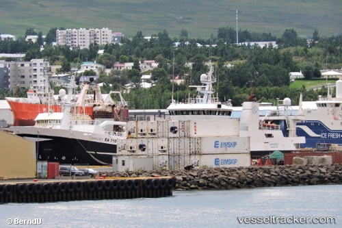
Vessel profile: VESTMENNINGUR is a Fishing Vessel with dimensions 72m x 13m.
This page combines live AIS, route history, probable destination signals, nearby traffic, and port activity for practical vessel monitoring.
The current position of vessel VESTMENNINGUR is 62.00758 lat / -6.77253 lng. Updated: 2026-07-15 03:31:30 UTCNearest reference points:
- Near FUGLAFJORDUR
- Near VESTMANNA
- 20 nm S of Vágur
Currently sailing under the flag of Faroe Islands ![]()
VESTMENNINGUR built in 1996 year
Deadweight:
580 tDetails:
Live Vessel VESTMENNINGUR Analytics (details, animations, etc.)
Recent AIS points (UTC):
2026-07-15 00:27:29 UTC · 62.00762, -6.77250 · SOG 0 kn · COG 239°2026-07-15 02:27:01 UTC · 62.00760, -6.77252 · SOG 0 kn · COG 239°
2026-07-15 02:38:30 UTC · 62.00762, -6.77252 · SOG 0 kn · COG 239°
2026-07-15 03:31:30 UTC · 62.00758, -6.77253 · SOG 0 kn · COG 238°