 ALISA
ALISA
Current Status
Where is the vessel?
ALISA is currently in 282 nm SE of Rawson, based on AIS data received about 14h ago.
Latest AIS update:
Current position: 45.01344° S, 59.01001° W (282 nm SE of Rawson)
Average speed (last 7 days): Loading…
Average speed (last 30 days): Loading…
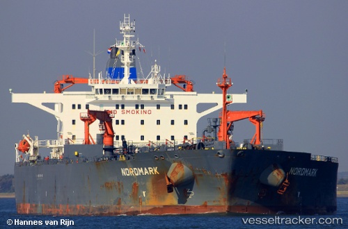
Vessel profile: ALISA is a Crude Oil Tanker with dimensions 244m x 42m.
This page combines live AIS, route history, probable destination signals, nearby traffic, and port activity for practical vessel monitoring.
The current position of vessel ALISA is -45.01344 lat / -59.01001 lng. Updated: 2026-05-19 13:52:26 UTCCurrently sailing under the flag of Tanzania ![]()
ALISA built in 1998 year
Deadweight:
105336 tDetails:
Live Vessel ALISA Analytics (details, animations, etc.)
Recent AIS points (UTC):
2026-05-19 10:17:51 UTC · -45.11946, -59.07270 · SOG 3.3 kn · COG -1°2026-05-19 12:13:31 UTC · -45.06002, -59.03663 · SOG 2.4 kn · COG -1°
2026-05-19 12:57:10 UTC · -45.03947, -59.02372 · SOG 4.4 kn · COG -1°
2026-05-19 13:52:26 UTC · -45.01344, -59.01001 · SOG 1.9 kn · COG 129°