 EMILIE
Current Status
Where is the vessel?
EMILIE is currently in Near Kalana, based on AIS data received about 14h ago.
Latest AIS update:
Current position: 59.05247° N, 22.00174° E (Near Kalana)
Average speed (last 7 days): Loading…
Average speed (last 30 days): Loading…
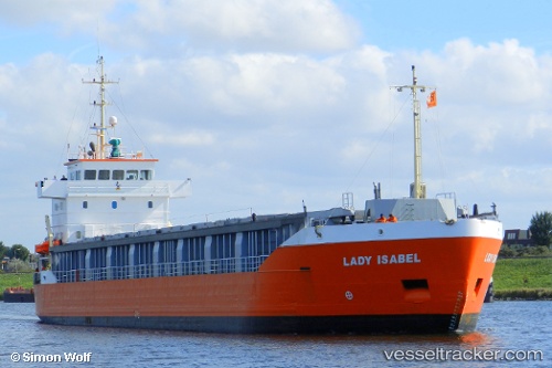
Vessel profile: EMILIE is a General Cargo with dimensions m x m.
This page combines live AIS, route history, probable destination signals, nearby traffic, and port activity for practical vessel monitoring.
The current position of vessel EMILIE is 59.05247 lat / 22.00174 lng. Updated: 2026-05-21 01:02:13 UTCNearest reference points:
- 20 nm W of Kalana
- Near Hango
- Near Nagu (Nauvo)
Currently sailing under the flag of Finland ![]()
Details:
Live Vessel EMILIE Analytics (details, animations, etc.)
Recent AIS points (UTC):
2026-05-20 21:54:54 UTC · 59.39039, 22.84432 · SOG 10.5 kn · COG 239°2026-05-20 22:18:24 UTC · 59.35478, 22.72804 · SOG 10.6 kn · COG 239°
2026-05-21 00:18:59 UTC · 59.15080, 22.17008 · SOG 10.6 kn · COG 221°
2026-05-21 01:02:13 UTC · 59.05247, 22.00174 · SOG 10.6 kn · COG 220°