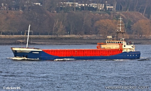
 Francisca
Current Status
Where is the vessel?
Francisca is currently in Near Ipswich, based on AIS data received about 15h ago.
Latest AIS update:
Current position: 52.03785° N, 1.15819° E (Near Ipswich)
Average speed (last 7 days): Loading…
Average speed (last 30 days): Loading…
Vessel profile: Francisca is a Multi Purpose Carrier with dimensions 89m x 12m.
This page combines live AIS, route history, probable destination signals, nearby traffic, and port activity for practical vessel monitoring.
The current position of vessel Francisca is 52.03785 lat / 1.15819 lng. Updated: 2026-06-12 04:16:12 UTCNearest reference points:
- Near Ipswich
- Near WOOLVERSTONE
- Near Levington
Currently sailing under the flag of Cyprus ![]()
Francisca built in 1997 year
Deadweight:
3452 tDetails:
Live Vessel Francisca Analytics (details, animations, etc.)
Recent AIS points (UTC):
2026-06-12 02:12:23 UTC · 52.03787, 1.15818 · SOG 0 kn · COG 12°2026-06-12 02:20:19 UTC · 52.03791, 1.15822 · SOG 0 kn · COG 12°
2026-06-12 04:07:20 UTC · 52.03787, 1.15818 · SOG 0 kn · COG 12°
2026-06-12 04:16:12 UTC · 52.03785, 1.15819 · SOG 0 kn · COG 12°