 PSF PASIFIK
Current Status
Where is the vessel?
PSF PASIFIK is currently in Near HEREKE, based on AIS data received about 14h ago.
Latest AIS update:
Current position: 40.77899° N, 29.60478° E (Near HEREKE)
Average speed (last 7 days): Loading…
Average speed (last 30 days): Loading…
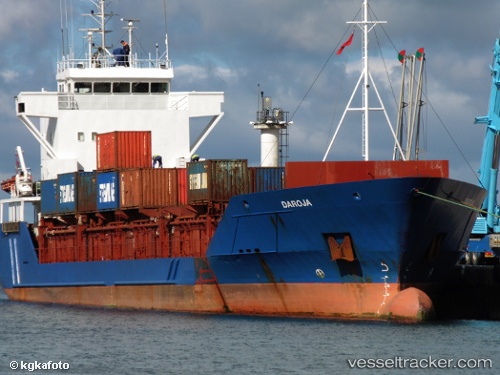
Vessel profile: PSF PASIFIK is a General Cargo with dimensions m x m.
This page combines live AIS, route history, probable destination signals, nearby traffic, and port activity for practical vessel monitoring.
The current position of vessel PSF PASIFIK is 40.77899 lat / 29.60478 lng. Updated: 2026-05-20 15:53:32 UTCNearest reference points:
- Near Diliskelesi
- Near Yilport
- Near YALOVA
Currently sailing under the flag of Saint Kitts and Nevis ![]()
Details:
Live Vessel PSF PASIFIK Analytics (details, animations, etc.)
Recent AIS points (UTC):
2026-05-20 11:39:05 UTC · 40.74923, 29.55652 · SOG 8.6 kn · COG 73°2026-05-20 12:59:30 UTC · 40.77899, 29.60472 · SOG 0 kn · COG 240°
2026-05-20 13:47:31 UTC · 40.77901, 29.60475 · SOG 0 kn · COG 239°
2026-05-20 15:53:32 UTC · 40.77899, 29.60478 · SOG 0 kn · COG 240°