 Maria Da Paz
Current Status
Where is the vessel?
Maria Da Paz is currently in Near Luanda, based on AIS data received about 15h ago.
Latest AIS update:
Current position: 8.75333° S, 13.23833° E (Near Luanda)
Average speed (last 7 days): Loading…
Average speed (last 30 days): Loading…
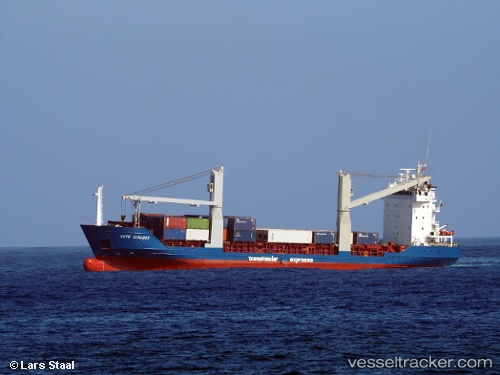
Vessel profile: Maria Da Paz is a Container Ship with dimensions 100m x 16m.
This page combines live AIS, route history, probable destination signals, nearby traffic, and port activity for practical vessel monitoring.
The current position of vessel Maria Da Paz is -8.75333 lat / 13.23833 lng. Updated: 2026-05-20 19:01:31 UTCNearest reference points:
- Near Luanda
- Near Greater Plutonio
Currently sailing under the flag of Antigua Barbuda ![]()
Maria Da Paz built in 1999 year
Deadweight:
4969 tDetails:
Live Vessel Maria Da Paz Analytics (details, animations, etc.)
Recent AIS points (UTC):
2026-05-20 16:24:39 UTC · -8.75280, 13.23834 · SOG 0.2 kn · COG 240°2026-05-20 16:27:38 UTC · -8.75278, 13.23835 · SOG 0.1 kn · COG 239°
2026-05-20 17:36:44 UTC · -8.75278, 13.23835 · SOG 0.1 kn · COG 237°
2026-05-20 19:01:31 UTC · -8.75333, 13.23833 · SOG 0 kn · COG -1°