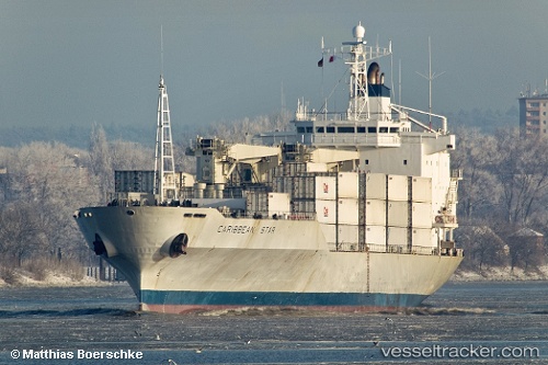
 Caribbean star
Current Status
Where is the vessel?
Caribbean star is currently in 99 nm SW of Conakry, based on AIS data received about 15h ago.
Latest AIS update:
Current position: 8.42833° N, 14.99167° W (99 nm SW of Conakry)
Average speed (last 7 days): Loading…
Average speed (last 30 days): Loading…
Vessel profile: Caribbean star is a Refrigerated Cargo Ship with dimensions 185m x 24m.
This page combines live AIS, route history, probable destination signals, nearby traffic, and port activity for practical vessel monitoring.
The current position of vessel Caribbean star is 8.42833 lat / -14.99167 lng. Updated: 2026-06-14 14:00:35 UTCNearest reference points:
- 79 nm SW of Conakry
- 28 nm S of Conakry
- 49 nm S of Port de Boké
Currently sailing under the flag of Liberia ![]()
Caribbean star built in 1997 year
Deadweight:
10362 tDetails:
Live Vessel Caribbean star Analytics (details, animations, etc.)
Recent AIS points (UTC):
2026-06-14 10:30:49 UTC · 7.70493, -14.27442 · SOG 17.4 kn · COG 318°2026-06-14 11:23:15 UTC · 7.89086, -14.45157 · SOG 17.3 kn · COG 318°
2026-06-14 13:24:36 UTC · 8.30333, -14.86833 · SOG 17 kn · COG -1°
2026-06-14 14:00:35 UTC · 8.42833, -14.99167 · SOG 17 kn · COG -1°