 HERCULES
Current Status
Where is the vessel?
HERCULES is currently in 14 nm SW of Temryuk, based on AIS data received about 19h ago.
Latest AIS update:
Current position: 45.08728° N, 37.17191° E (14 nm SW of Temryuk)
Average speed (last 7 days): Loading…
Average speed (last 30 days): Loading…
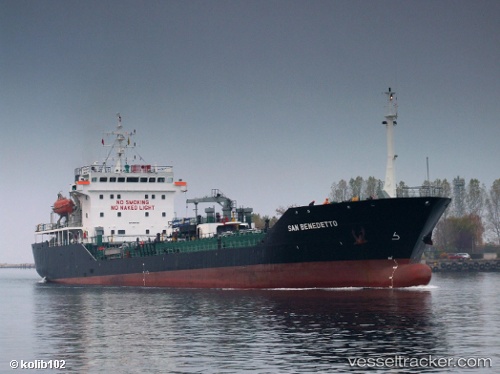
Vessel profile: HERCULES is a Asphalt/Bitumen Tanker with dimensions 105m x 18m.
This page combines live AIS, route history, probable destination signals, nearby traffic, and port activity for practical vessel monitoring.
The current position of vessel HERCULES is 45.08728 lat / 37.17191 lng. Updated: 2026-07-01 15:41:29 UTCNearest reference points:
- Near Temryuk
- 13 nm NW of Cpc Terminal
- 20 nm S of Taman'
Currently sailing under the flag of Palau (Republic of) ![]()
HERCULES built in 1997 year
Deadweight:
4780 tDetails:
Live Vessel HERCULES Analytics (details, animations, etc.)
Recent AIS points (UTC):
2026-07-01 15:41:29 UTC · 45.08728, 37.17191 · SOG 8.2 kn · COG -1°2026-07-01 15:41:29 UTC · 45.08728, 37.17191 · SOG 8.2 kn · COG -1°
2026-07-01 15:41:29 UTC · 45.08728, 37.17191 · SOG 8.2 kn · COG -1°
2026-07-01 15:41:29 UTC · 45.08728, 37.17191 · SOG 8.2 kn · COG -1°