 NOVA
NOVA
Current Status
Where is the vessel?
NOVA is currently in 31 nm SE of LINDOS, based on AIS data received about 14h ago.
Latest AIS update:
Current position: 35.85267° N, 28.65866° E (31 nm SE of LINDOS)
Average speed (last 7 days): Loading…
Average speed (last 30 days): Loading…
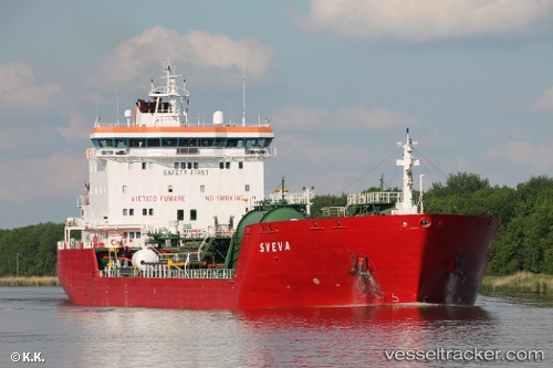
Vessel profile: NOVA is a Oil/Chemical Tanker with dimensions m x m.
This page combines live AIS, route history, probable destination signals, nearby traffic, and port activity for practical vessel monitoring.
The current position of vessel NOVA is 35.85267 lat / 28.65866 lng. Updated: 2026-05-21 08:14:19 UTCNearest reference points:
- 18 nm E of Rhodes
- Near Rhodes
- 10 nm S of GOCEK
Currently sailing under the flag of Somalia ![]()
Details:
Live Vessel NOVA Analytics (details, animations, etc.)
Recent AIS points (UTC):
2026-05-21 04:36:31 UTC · 35.76671, 27.99745 · SOG 9 kn · COG 79°2026-05-21 05:21:49 UTC · 35.78440, 28.13567 · SOG 9 kn · COG 80°
2026-05-21 07:21:19 UTC · 35.83888, 28.49781 · SOG 9.2 kn · COG 80°
2026-05-21 08:14:19 UTC · 35.85267, 28.65866 · SOG 9.1 kn · COG 80°