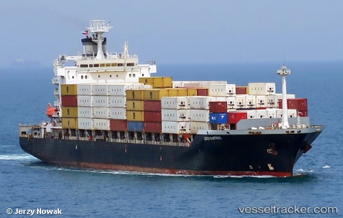
 SHUN LONG
Current Status
Where is the vessel?
SHUN LONG is currently in 32 nm NE of Ruby, based on AIS data received about 14h ago.
Latest AIS update:
Current position: 10.82452° N, 108.80789° E (32 nm NE of Ruby)
Average speed (last 7 days): Loading…
Average speed (last 30 days): Loading…
Vessel profile: SHUN LONG is a Container Ship with dimensions m x m.
This page combines live AIS, route history, probable destination signals, nearby traffic, and port activity for practical vessel monitoring.
The current position of vessel SHUN LONG is 10.82452 lat / 108.80789 lng. Updated: 2026-05-19 18:10:22 UTCNearest reference points:
- Near Rang Dong
- Near Vinh Cam Ranh
- 30 nm NW of Bach Ho
Currently sailing under the flag of Panama ![]()
Details:
Live Vessel SHUN LONG Analytics (details, animations, etc.)
Recent AIS points (UTC):
2026-05-19 14:01:34 UTC · 10.44833, 108.01333 · SOG 13 kn · COG -1°2026-05-19 15:01:29 UTC · 10.53500, 108.21833 · SOG 12 kn · COG -1°
2026-05-19 16:54:23 UTC · 10.70513, 108.57540 · SOG 12.3 kn · COG 68°
2026-05-19 18:10:22 UTC · 10.82452, 108.80789 · SOG 12.4 kn · COG 59°