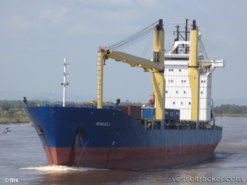
Meratus Semarang
Current StatusWhere is the vessel?
Meratus Semarang is currently in 21 nm N of Cilincing, based on AIS data received about 15h ago.
Latest AIS update:
Current position: 5.73205° S, 106.99419° E (21 nm N of Cilincing)
Average speed (last 7 days): Loading…
Average speed (last 30 days): Loading…
Vessel profile: Meratus Semarang is a Multi Purpose Carrier with dimensions 24m x 153m.
This page combines live AIS, route history, probable destination signals, nearby traffic, and port activity for practical vessel monitoring.
The current position of vessel Meratus Semarang is -5.73205 lat / 106.99419 lng. Updated: 2026-05-20 07:56:15 UTCNearest reference points:
- 19 nm N of Cilincing
- Near New Priok Port
- Near Jakarta
Details:
Live Vessel Meratus Semarang Analytics (details, animations, etc.)
Recent AIS points (UTC):
2026-05-20 04:53:02 UTC · -5.66333, 107.58833 · SOG 11 kn · COG -1°2026-05-20 06:14:01 UTC · -5.67167, 107.32167 · SOG 11 kn · COG -1°
2026-05-20 07:29:55 UTC · -5.71532, 107.07902 · SOG 11.8 kn · COG 261°
2026-05-20 07:56:15 UTC · -5.73205, 106.99419 · SOG 11.8 kn · COG 252°