 DONG FANG FU
Current Status
Where is the vessel?
DONG FANG FU is currently in Near Shekou, based on AIS data received about 15h ago.
Latest AIS update:
Current position: 22.46644° N, 113.89808° E (Near Shekou)
Average speed (last 7 days): Loading…
Average speed (last 30 days): Loading…
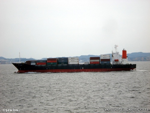
Vessel profile: DONG FANG FU is a Container Ship with dimensions m x m.
This page combines live AIS, route history, probable destination signals, nearby traffic, and port activity for practical vessel monitoring.
The current position of vessel DONG FANG FU is 22.46644 lat / 113.89808 lng. Updated: 2026-05-20 13:07:41 UTCNearest reference points:
- Near CHIWAN
- Near SHENZHEN
- Near Tai Lang Shui
Currently sailing under the flag of China ![]()
Details:
Live Vessel DONG FANG FU Analytics (details, animations, etc.)
Recent AIS points (UTC):
2026-05-20 09:43:45 UTC · 22.46641, 113.89804 · SOG 0 kn · COG 323°2026-05-20 10:43:43 UTC · 22.46647, 113.89812 · SOG 0 kn · COG 323°
2026-05-20 12:10:41 UTC · 22.46644, 113.89807 · SOG 0 kn · COG 323°
2026-05-20 13:07:41 UTC · 22.46644, 113.89808 · SOG 0 kn · COG 323°