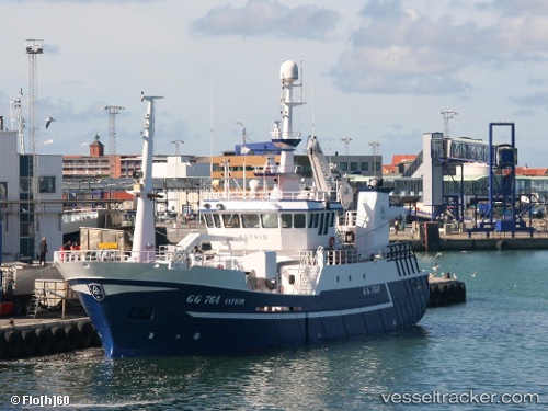
 ASTRID
Current Status
Where is the vessel?
ASTRID is currently in 38 nm N of Ad Dakhla, based on AIS data received about 14d ago.
Latest AIS update:
Current position: 24.33458° N, 15.91640° W (38 nm N of Ad Dakhla)
Average speed (last 7 days): Loading…
Average speed (last 30 days): Loading…
Vessel profile: ASTRID is a Fishing Vessel with dimensions m x m.
This page combines live AIS, route history, probable destination signals, nearby traffic, and port activity for practical vessel monitoring.
The current position of vessel ASTRID is 24.33458 lat / -15.91640 lng. Updated: 2026-06-18 23:19:06 UTCNearest reference points:
- Near DAKHLA
- 68 nm NW of Ad Dakhla
- 110 nm NE of Las Brujas
Currently sailing under the flag of Morocco ![]()
Details:
Live Vessel ASTRID Analytics (details, animations, etc.)
Recent AIS points (UTC):
2026-06-18 23:19:06 UTC · 24.33458, -15.91640 · SOG 4.9 kn · COG -1°