 SEA CARYATIS
Current Status
Where is the vessel?
SEA CARYATIS is currently in Near Le Kram, based on AIS data received about 14h ago.
Latest AIS update:
Current position: 36.81112° N, 10.29877° E (Near Le Kram)
Average speed (last 7 days): Loading…
Average speed (last 30 days): Loading…
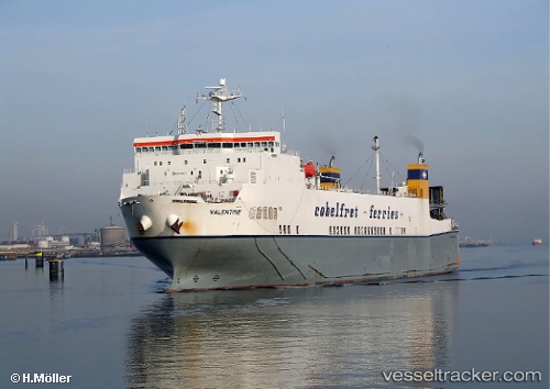
Vessel profile: SEA CARYATIS is a Ro-Ro Cargo with dimensions m x m.
This page combines live AIS, route history, probable destination signals, nearby traffic, and port activity for practical vessel monitoring.
The current position of vessel SEA CARYATIS is 36.81112 lat / 10.29877 lng. Updated: 2026-05-24 13:56:44 UTCNearest reference points:
- Near Le Kram
- 13 nm N of Qulaybiyah
- 32 nm N of Qulaybiyah
Details:
Live Vessel SEA CARYATIS Analytics (details, animations, etc.)
Recent AIS points (UTC):
2026-05-24 09:28:28 UTC · 36.81112, 10.29876 · SOG 0 kn · COG 307°2026-05-24 10:35:42 UTC · 36.81108, 10.29880 · SOG 0 kn · COG 307°
2026-05-24 11:41:44 UTC · 36.81112, 10.29876 · SOG 0 kn · COG 306°
2026-05-24 13:56:44 UTC · 36.81112, 10.29877 · SOG 0 kn · COG 307°