 vesseltracker.com
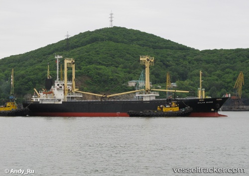
 HAMMER
Current Status
Where is the vessel?
HAMMER is currently in 20 nm W of Grampound, based on AIS data received about 1h ago.
Latest AIS update:
Current position: 50.46478° N, 6.01448° W (20 nm W of Grampound)
Average speed (last 7 days): Loading…
Average speed (last 30 days): Loading…
Vessel profile: HAMMER is a General Cargo Ship with dimensions 16m x 94m.
This page combines live AIS, route history, probable destination signals, nearby traffic, and port activity for practical vessel monitoring.
The current position of vessel HAMMER is 50.46478 lat / -6.01448 lng. Updated: 2026-05-16 15:41:46 UTCNearest reference points:
- 10 nm NW of Grampound
- Near Isles of Scilly
- Near Flushing
Currently sailing under the flag of Panama ![]()
HAMMER built in 1998 year
Deadweight:
4902 tDetails:
Live Vessel HAMMER Analytics (details, animations, etc.)
Recent AIS points (UTC):
2026-05-16 12:11:15 UTC · 50.91474, -6.00812 · SOG 8.1 kn · COG 189°2026-05-16 13:12:25 UTC · 50.78081, -6.00834 · SOG 7.7 kn · COG 190°
2026-05-16 13:29:54 UTC · 50.74415, -6.00840 · SOG 7.3 kn · COG 188°
2026-05-16 15:41:46 UTC · 50.46478, -6.01448 · SOG 7.2 kn · COG 194°