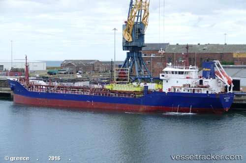
 MERSEY
Current Status
Where is the vessel?
MERSEY is currently in Near Karlshamn, based on AIS data received about 14h ago.
Latest AIS update:
Current position: 56.07751° N, 14.78651° E (Near Karlshamn)
Average speed (last 7 days): Loading…
Average speed (last 30 days): Loading…
Vessel profile: MERSEY is a Oil Products Tanker with dimensions m x m.
This page combines live AIS, route history, probable destination signals, nearby traffic, and port activity for practical vessel monitoring.
The current position of vessel MERSEY is 56.07751 lat / 14.78651 lng. Updated: 2026-05-19 23:58:58 UTCNearest reference points:
- Near Sölvesborg
- Near Åhus
- Near RONNEBY
Currently sailing under the flag of Latvia ![]()
Details:
Live Vessel MERSEY Analytics (details, animations, etc.)
Recent AIS points (UTC):
2026-05-19 19:31:56 UTC · 56.07839, 14.78847 · SOG 0 kn · COG 219°2026-05-19 21:37:57 UTC · 56.07793, 14.78909 · SOG 0 kn · COG 260°
2026-05-19 22:46:56 UTC · 56.07746, 14.78876 · SOG 0 kn · COG 293°
2026-05-19 23:58:58 UTC · 56.07751, 14.78651 · SOG 0 kn · COG 86°