 Ping An Hai Tai
Current Status
Where is the vessel?
Ping An Hai Tai is currently in Near Caofeidian Pt, based on AIS data received about 14h ago.
Latest AIS update:
Current position: 38.98200° N, 118.45522° E (Near Caofeidian Pt)
Average speed (last 7 days): Loading…
Average speed (last 30 days): Loading…
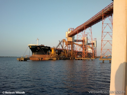
Vessel profile: Ping An Hai Tai is a Bulk Carrier with dimensions 225m x 32m.
This page combines live AIS, route history, probable destination signals, nearby traffic, and port activity for practical vessel monitoring.
The current position of vessel Ping An Hai Tai is 38.98200 lat / 118.45522 lng. Updated: 2026-05-23 08:07:22 UTCNearest reference points:
- Near Caofeidian Pt
- Near CAOFEIDIAN
- Near Taku Bar
Currently sailing under the flag of China ![]()
Ping An Hai Tai built in 1999 year
Deadweight:
75542 tDetails:
Live Vessel Ping An Hai Tai Analytics (details, animations, etc.)
Recent AIS points (UTC):
2026-05-23 05:01:18 UTC · 38.98195, 118.45525 · SOG 0 kn · COG 1°2026-05-23 05:56:20 UTC · 38.98196, 118.45523 · SOG 0 kn · COG -1°
2026-05-23 07:34:23 UTC · 38.98192, 118.45521 · SOG 0 kn · COG 1°
2026-05-23 08:07:22 UTC · 38.98200, 118.45522 · SOG 0 kn · COG 1°