 ORIENTAL NAVIGATOR
Current Status
Where is the vessel?
ORIENTAL NAVIGATOR is currently in 46 nm SE of Galeota Point, based on AIS data received about 14h ago.
Latest AIS update:
Current position: 9.63658° N, 60.41635° W (46 nm SE of Galeota Point)
Average speed (last 7 days): Loading…
Average speed (last 30 days): Loading…
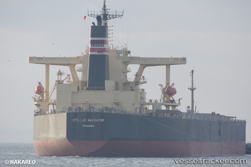
Vessel profile: ORIENTAL NAVIGATOR is a Bulk Carrier with dimensions m x m.
This page combines live AIS, route history, probable destination signals, nearby traffic, and port activity for practical vessel monitoring.
The current position of vessel ORIENTAL NAVIGATOR is 9.63658 lat / -60.41635 lng. Updated: 2026-05-20 13:22:15 UTCNearest reference points:
- 16 nm E of Galeota Point
- Near POINT LISAS
- Near Caroni
Currently sailing under the flag of Panama ![]()
Details:
Live Vessel ORIENTAL NAVIGATOR Analytics (details, animations, etc.)
Recent AIS points (UTC):
2026-05-20 08:22:36 UTC · 9.63610, -60.41640 · SOG 0.1 kn · COG 109°2026-05-20 11:46:39 UTC · 9.63657, -60.41625 · SOG 0.4 kn · COG 118°
2026-05-20 11:46:39 UTC · 9.63657, -60.41625 · SOG 0.4 kn · COG 118°
2026-05-20 13:22:15 UTC · 9.63658, -60.41635 · SOG 0.2 kn · COG 353°