 Cellus
Current Status
Where is the vessel?
Cellus is currently in 25 nm S of Karlskrona, based on AIS data received about 14h ago.
Latest AIS update:
Current position: 55.74879° N, 15.46719° E (25 nm S of Karlskrona)
Average speed (last 7 days): Loading…
Average speed (last 30 days): Loading…
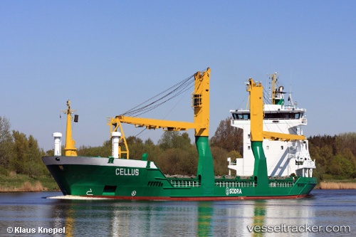
Vessel profile: Cellus is a Multi Purpose Carrier with dimensions 100m x 17m.
This page combines live AIS, route history, probable destination signals, nearby traffic, and port activity for practical vessel monitoring.
The current position of vessel Cellus is 55.74879 lat / 15.46719 lng. Updated: 2026-05-19 23:59:19 UTCNearest reference points:
- Near Karlskrona
- Near RONNEBY
- Near TEJN
Currently sailing under the flag of Germany ![]()
Cellus built in 1998 year
Deadweight:
6349 tDetails:
Live Vessel Cellus Analytics (details, animations, etc.)
Recent AIS points (UTC):
2026-05-19 19:32:19 UTC · 56.31668, 16.79321 · SOG 13.2 kn · COG 195°2026-05-19 21:40:39 UTC · 55.99515, 16.25909 · SOG 12.9 kn · COG 238°
2026-05-19 22:49:00 UTC · 55.87723, 15.86531 · SOG 13.2 kn · COG 238°
2026-05-19 23:59:19 UTC · 55.74879, 15.46719 · SOG 13.2 kn · COG 239°