 CHLOE
CHLOE
Current Status
Where is the vessel?
CHLOE is currently in 29 nm NE of Offshore Fujairah, based on AIS data received about 15h ago.
Latest AIS update:
Current position: 25.69333° N, 56.88667° E (29 nm NE of Offshore Fujairah)
Average speed (last 7 days): Loading…
Average speed (last 30 days): Loading…
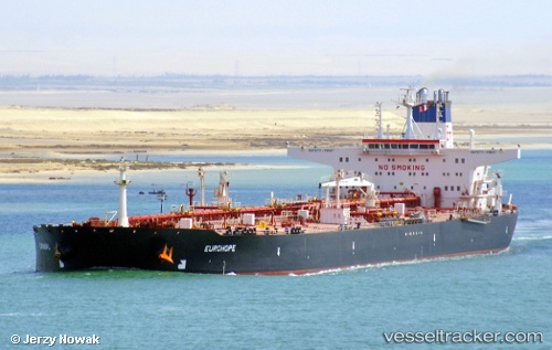
Vessel profile: CHLOE is a Crude Oil Tanker with dimensions m x m.
This page combines live AIS, route history, probable destination signals, nearby traffic, and port activity for practical vessel monitoring.
The current position of vessel CHLOE is 25.69333 lat / 56.88667 lng. Updated: 2026-05-20 19:08:01 UTCNearest reference points:
- 29 nm NE of Offshore Fujairah
- 30 nm NE of Offshore Fujairah
- 34 nm NE of Offshore Fujairah
Details:
Live Vessel CHLOE Analytics (details, animations, etc.)
Recent AIS points (UTC):
2026-05-20 16:55:52 UTC · 25.69333, 56.88667 · SOG 0 kn · COG -1°2026-05-20 16:55:52 UTC · 25.69333, 56.88667 · SOG 0 kn · COG -1°
2026-05-20 19:08:01 UTC · 25.69333, 56.88667 · SOG 0 kn · COG -1°
2026-05-20 19:08:01 UTC · 25.69333, 56.88667 · SOG 0 kn · COG -1°