 ORLEANS HAWK
Current Status
Where is the vessel?
ORLEANS HAWK is currently in 47 nm E of ZHOUSHAN, based on AIS data received about 14h ago.
Latest AIS update:
Current position: 29.70672° N, 123.04137° E (47 nm E of ZHOUSHAN)
Average speed (last 7 days): Loading…
Average speed (last 30 days): Loading…
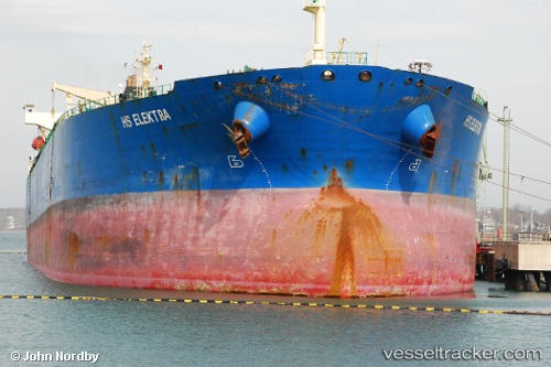
Vessel profile: ORLEANS HAWK is a Crude Oil Tanker with dimensions m x m.
This page combines live AIS, route history, probable destination signals, nearby traffic, and port activity for practical vessel monitoring.
The current position of vessel ORLEANS HAWK is 29.70672 lat / 123.04137 lng. Updated: 2026-05-24 13:51:17 UTCNearest reference points:
- 50 nm E of ZHOUSHAN
- 44 nm E of ZHOUSHAN
- 54 nm E of ZHOUSHAN
Currently sailing under the flag of Tanzania ![]()
Details:
Live Vessel ORLEANS HAWK Analytics (details, animations, etc.)
Recent AIS points (UTC):
2026-05-24 10:05:57 UTC · 29.70703, 123.04125 · SOG 0.1 kn · COG -1°2026-05-24 11:22:55 UTC · 29.70693, 123.04175 · SOG 0.2 kn · COG 200°
2026-05-24 13:26:31 UTC · 29.70673, 123.04139 · SOG 0.2 kn · COG 204°
2026-05-24 13:51:17 UTC · 29.70672, 123.04137 · SOG 0.2 kn · COG -1°