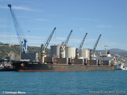
Dong Thanh
Current StatusWhere is the vessel?
Dong Thanh is currently in 32 nm SE of Pulau Jarak, based on AIS data received about 15h ago.
Latest AIS update:
Current position: 3.54500° N, 100.39618° E (32 nm SE of Pulau Jarak)
Average speed (last 7 days): Loading…
Average speed (last 30 days): Loading…
Vessel profile: Dong Thanh is a Bulk Carrier with dimensions 27m x 169m.
This page combines live AIS, route history, probable destination signals, nearby traffic, and port activity for practical vessel monitoring.
The current position of vessel Dong Thanh is 3.54500 lat / 100.39618 lng. Updated: 2026-06-20 23:37:52 UTCNearest reference points:
- 11 nm W of Pangkur
- Near PANGKOR
- Near Simpang Lima
Details:
Live Vessel Dong Thanh Analytics (details, animations, etc.)
Recent AIS points (UTC):
2026-06-20 20:17:16 UTC · 4.05538, 100.24766 · SOG 8.9 kn · COG -1°2026-06-20 21:41:14 UTC · 3.84462, 100.31032 · SOG 9.7 kn · COG 171°
2026-06-20 22:19:20 UTC · 3.74598, 100.33567 · SOG 9.5 kn · COG 165°
2026-06-20 23:37:52 UTC · 3.54500, 100.39618 · SOG 9.4 kn · COG 170°