 OLIVIA
Current Status
Where is the vessel?
OLIVIA is currently in 17 nm N of Monopoli, based on AIS data received about 16h ago.
Latest AIS update:
Current position: 41.39997° N, 17.27358° E (17 nm N of Monopoli)
Average speed (last 7 days): Loading…
Average speed (last 30 days): Loading…
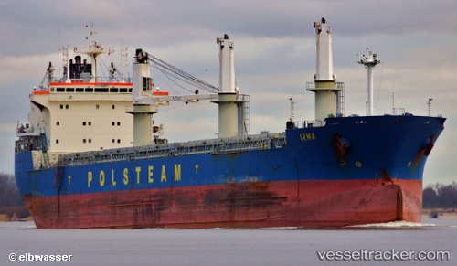
Vessel profile: OLIVIA is a Bulk Carrier with dimensions m x m.
This page combines live AIS, route history, probable destination signals, nearby traffic, and port activity for practical vessel monitoring.
The current position of vessel OLIVIA is 41.39997 lat / 17.27358 lng. Updated: 2026-05-20 13:49:59 UTCNearest reference points:
- Near Monopoli
- Near Porto Di Brindisi
- Near Marina di Ginosa
Currently sailing under the flag of Antigua and Barbuda ![]()
Details:
Live Vessel OLIVIA Analytics (details, animations, etc.)
Recent AIS points (UTC):
2026-05-20 10:27:48 UTC · 41.92518, 16.56776 · SOG 13.1 kn · COG 137°2026-05-20 11:52:09 UTC · 41.70298, 16.85138 · SOG 13.2 kn · COG 134°
2026-05-20 13:27:49 UTC · 41.45514, 17.19603 · SOG 13 kn · COG 132°
2026-05-20 13:49:59 UTC · 41.39997, 17.27358 · SOG 12.9 kn · COG 136°