 Amber Trader
Current Status
Where is the vessel?
Amber Trader is currently in 13 nm NW of Snedsted, based on AIS data received about 15h ago.
Latest AIS update:
Current position: 57.03042° N, 8.22990° E (13 nm NW of Snedsted)
Average speed (last 7 days): Loading…
Average speed (last 30 days): Loading…
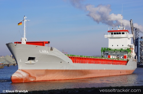
Vessel profile: Amber Trader is a Multi Purpose Carrier with dimensions 101m x 15m.
This page combines live AIS, route history, probable destination signals, nearby traffic, and port activity for practical vessel monitoring.
The current position of vessel Amber Trader is 57.03042 lat / 8.22990 lng. Updated: 2026-05-22 02:08:17 UTCNearest reference points:
- Near Thyborøn
- Near HANSTHOLM
- Near Kleppen
Currently sailing under the flag of Antigua Barbuda ![]()
Amber Trader built in 1998 year
Deadweight:
5727 tDetails:
Live Vessel Amber Trader Analytics (details, animations, etc.)
Recent AIS points (UTC):
2026-05-21 21:51:41 UTC · 56.44167, 7.39500 · SOG 10 kn · COG -1°2026-05-21 22:08:58 UTC · 56.48287, 7.45153 · SOG 10.5 kn · COG 38°
2026-05-22 01:26:10 UTC · 56.93210, 8.08695 · SOG 10.3 kn · COG 38°
2026-05-22 02:08:17 UTC · 57.03042, 8.22990 · SOG 11.2 kn · COG 42°