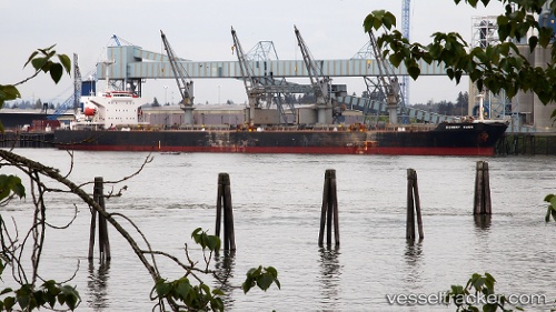
Cheng Kai
Current StatusWhere is the vessel?
Cheng Kai is currently in 12 nm SE of Nantong, based on AIS data received about 17d ago.
Latest AIS update:
Current position: 31.82074° N, 120.94140° E (12 nm SE of Nantong)
Average speed (last 7 days): Loading…
Average speed (last 30 days): Loading…
Vessel profile: Cheng Kai is a Bulk Carrier with dimensions 32m x 190m.
This page combines live AIS, route history, probable destination signals, nearby traffic, and port activity for practical vessel monitoring.
The current position of vessel Cheng Kai is 31.82074 lat / 120.94140 lng. Updated: 2026-05-12 08:47:32 UTCNearest reference points:
- 13 nm NE of Changshu Pt
- Near Nantong
- Near Nantong Pt
Details:
Live Vessel Cheng Kai Analytics (details, animations, etc.)
Recent AIS points (UTC):
2026-05-12 08:47:32 UTC · 31.82074, 120.94140 · SOG 0 kn · COG 342°