 STAR BLESSING
Current Status
Where is the vessel?
STAR BLESSING is currently in 58 nm W of Veraval, based on AIS data received about 15h ago.
Latest AIS update:
Current position: 20.88978° N, 69.33898° E (58 nm W of Veraval)
Average speed (last 7 days): Loading…
Average speed (last 30 days): Loading…
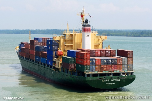
Vessel profile: STAR BLESSING is a Container Ship with dimensions m x m.
This page combines live AIS, route history, probable destination signals, nearby traffic, and port activity for practical vessel monitoring.
The current position of vessel STAR BLESSING is 20.88978 lat / 69.33898 lng. Updated: 2026-05-20 23:24:54 UTCNearest reference points:
- 54 nm S of Positra
- 49 nm S of Positra
- Near Khambhaliya
Currently sailing under the flag of Panama ![]()
Details:
Live Vessel STAR BLESSING Analytics (details, animations, etc.)
Recent AIS points (UTC):
2026-05-20 12:07:41 UTC · 19.03409, 70.75466 · SOG 12.5 kn · COG -1°2026-05-20 21:33:42 UTC · 20.56268, 69.54946 · SOG 12.3 kn · COG 328°
2026-05-20 22:07:58 UTC · 20.66430, 69.48475 · SOG 12.5 kn · COG 328°
2026-05-20 23:24:54 UTC · 20.88978, 69.33898 · SOG 12.4 kn · COG 330°