 MNTALOS
Current Status
Where is the vessel?
MNTALOS is currently in Near Kalamai, based on AIS data received about 14h ago.
Latest AIS update:
Current position: 37.00718° N, 22.10510° E (Near Kalamai)
Average speed (last 7 days): Loading…
Average speed (last 30 days): Loading…
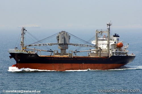
Vessel profile: MNTALOS is a General Cargo with dimensions m x m.
This page combines live AIS, route history, probable destination signals, nearby traffic, and port activity for practical vessel monitoring.
The current position of vessel MNTALOS is 37.00718 lat / 22.10510 lng. Updated: 2026-05-21 03:53:16 UTCNearest reference points:
- 17 nm S of Areópolis
- 23 nm S of Methoni
- Near Náfplion
Currently sailing under the flag of Sierra Leone ![]()
Details:
Live Vessel MNTALOS Analytics (details, animations, etc.)
Recent AIS points (UTC):
2026-05-21 00:19:16 UTC · 37.00672, 22.10463 · SOG 0 kn · COG 350°2026-05-21 01:01:14 UTC · 37.00673, 22.10442 · SOG 0.1 kn · COG 355°
2026-05-21 02:01:15 UTC · 37.00688, 22.10395 · SOG 0 kn · COG 20°
2026-05-21 03:53:16 UTC · 37.00718, 22.10510 · SOG 0.2 kn · COG 312°