 SONG
SONG
Current Status
Where is the vessel?
SONG is currently in Near Gamba, based on AIS data received about 15h ago.
Latest AIS update:
Current position: 2.90167° S, 9.86167° E (Near Gamba)
Average speed (last 7 days): Loading…
Average speed (last 30 days): Loading…
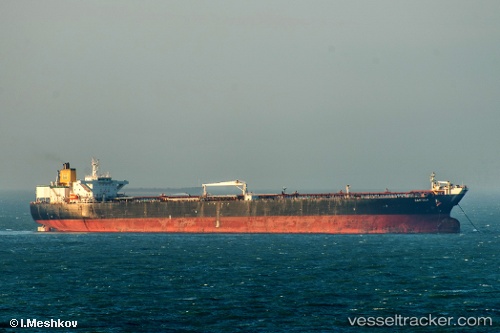
Vessel profile: SONG is a Shuttle Tanker with dimensions m x m.
This page combines live AIS, route history, probable destination signals, nearby traffic, and port activity for practical vessel monitoring.
The current position of vessel SONG is -2.90167 lat / 9.86167 lng. Updated: 2026-05-20 23:26:58 UTCNearest reference points:
- Near Port Gentil
- Near Cape Lopez
- Near Pointe Noire
Currently sailing under the flag of Belize ![]()
Details:
Live Vessel SONG Analytics (details, animations, etc.)
Recent AIS points (UTC):
2026-05-20 19:01:48 UTC · -2.66821, 9.62237 · SOG 4.5 kn · COG 124°2026-05-20 22:03:58 UTC · -2.82753, 9.78433 · SOG 4.8 kn · COG 124°
2026-05-20 23:02:17 UTC · -2.87992, 9.83832 · SOG 4.9 kn · COG 124°
2026-05-20 23:26:58 UTC · -2.90167, 9.86167 · SOG 4 kn · COG -1°