 MARIANNA 28
Current Status
Where is the vessel?
MARIANNA 28 is currently in 69 nm N of PANGKAL BALAM, based on AIS data received about 14h ago.
Latest AIS update:
Current position: 1.02217° S, 106.51704° E (69 nm N of PANGKAL BALAM)
Average speed (last 7 days): Loading…
Average speed (last 30 days): Loading…
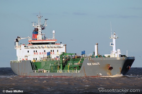
Vessel profile: MARIANNA 28 is a LPG Tanker with dimensions 118m x 18m.
This page combines live AIS, route history, probable destination signals, nearby traffic, and port activity for practical vessel monitoring.
The current position of vessel MARIANNA 28 is -1.02217 lat / 106.51704 lng. Updated: 2026-05-20 02:16:11 UTCNearest reference points:
- 69 nm NE of Exspan
- Near PANGKAL BALAM
- 46 nm NW of Tanjung Pandan
Currently sailing under the flag of Indonesia ![]()
MARIANNA 28 built in 1998 year
Deadweight:
7876 tDetails:
Live Vessel MARIANNA 28 Analytics (details, animations, etc.)
Recent AIS points (UTC):
2026-05-19 23:10:30 UTC · -0.76498, 107.15612 · SOG 13.3 kn · COG 248°2026-05-20 00:08:21 UTC · -0.84467, 106.95742 · SOG 13.4 kn · COG 246°
2026-05-20 02:08:40 UTC · -1.01189, 106.54255 · SOG 13.4 kn · COG 246°
2026-05-20 02:16:11 UTC · -1.02217, 106.51704 · SOG 13.4 kn · COG 246°