 vesseltracker.com
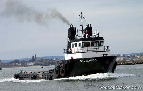
 Rana Miller
Current Status
Where is the vessel?
Rana Miller is currently in 33 nm S of JUDITH POINT, based on AIS data received about 14h ago.
Latest AIS update:
Current position: 40.86833° N, 71.26667° W (33 nm S of JUDITH POINT)
Average speed (last 7 days): Loading…
Average speed (last 30 days): Loading…
Vessel profile: Rana Miller is a Offshore Tug Supply Ship with dimensions 40m x 40m.
This page combines live AIS, route history, probable destination signals, nearby traffic, and port activity for practical vessel monitoring.
The current position of vessel Rana Miller is 40.86833 lat / -71.26667 lng. Updated: 2026-05-18 04:39:29 UTCNearest reference points:
- 37 nm NE of Offshore Ambrose
- Near JUDITH POINT
- Near Newport
Currently sailing under the flag of USA ![]()
Rana Miller built in 1997 year
Deadweight:
540 tDetails:
Live Vessel Rana Miller Analytics (details, animations, etc.)
Recent AIS points (UTC):
2026-05-18 01:20:56 UTC · 41.17426, -71.32751 · SOG 7.1 kn · COG 168°2026-05-18 02:19:29 UTC · 41.06388, -71.30405 · SOG 6.8 kn · COG 184°
2026-05-18 04:23:39 UTC · 40.88668, -71.28987 · SOG 5.7 kn · COG 140°
2026-05-18 04:39:29 UTC · 40.86833, -71.26667 · SOG 5 kn · COG -1°