 GAS SAMBAS
Current Status
Where is the vessel?
GAS SAMBAS is currently in 74 nm E of Kumai, based on AIS data received about 14h ago.
Latest AIS update:
Current position: 2.70619° S, 112.94236° E (74 nm E of Kumai)
Average speed (last 7 days): Loading…
Average speed (last 30 days): Loading…
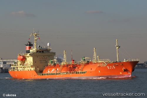
Vessel profile: GAS SAMBAS is a LPG Tanker with dimensions 91m x 15m.
This page combines live AIS, route history, probable destination signals, nearby traffic, and port activity for practical vessel monitoring.
The current position of vessel GAS SAMBAS is -2.70619 lat / 112.94236 lng. Updated: 2026-05-21 03:58:35 UTCNearest reference points:
- 86 nm W of Taboneo
- Near BANJARMASIN
- Near Taboneo
Currently sailing under the flag of Indonesia ![]()
GAS SAMBAS built in 1998 year
Deadweight:
2645 tDetails:
Live Vessel GAS SAMBAS Analytics (details, animations, etc.)
Recent AIS points (UTC):
2026-05-21 00:01:03 UTC · -2.70654, 112.94244 · SOG 0 kn · COG 214°2026-05-21 01:50:46 UTC · -2.70500, 112.94167 · SOG 0 kn · COG -1°
2026-05-21 02:34:10 UTC · -2.70620, 112.94235 · SOG 0 kn · COG 226°
2026-05-21 03:58:35 UTC · -2.70619, 112.94236 · SOG 0 kn · COG 229°