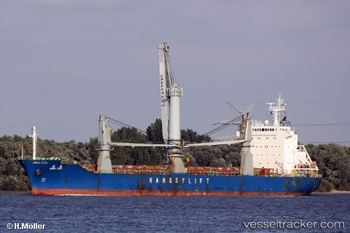
Han Hui
Current StatusWhere is the vessel?
Han Hui is currently in Near AL DUQM, based on AIS data received about 15h ago.
Latest AIS update:
Current position: 19.74167° N, 57.82333° E (Near AL DUQM)
Average speed (last 7 days): Loading…
Average speed (last 30 days): Loading…
Vessel profile: Han Hui is a General Cargo Ship with dimensions 22m x 130m.
This page combines live AIS, route history, probable destination signals, nearby traffic, and port activity for practical vessel monitoring.
The current position of vessel Han Hui is 19.74167 lat / 57.82333 lng. Updated: 2026-05-21 04:10:28 UTCNearest reference points:
- Near AL DUQM
- Near Duqm
- 39 nm SE of Pizhou
Details:
Live Vessel Han Hui Analytics (details, animations, etc.)
Recent AIS points (UTC):
2026-05-21 00:52:30 UTC · 19.74000, 57.82333 · SOG 0 kn · COG -1°2026-05-21 01:34:30 UTC · 19.74167, 57.82333 · SOG 0 kn · COG -1°
2026-05-21 03:55:30 UTC · 19.74167, 57.82333 · SOG 0 kn · COG -1°
2026-05-21 04:10:28 UTC · 19.74167, 57.82333 · SOG 0 kn · COG -1°