 Tanais Flyer
Current Status
Where is the vessel?
Tanais Flyer is currently in 32 nm SW of Bataduwa, based on AIS data received about 14h ago.
Latest AIS update:
Current position: 5.84885° N, 79.71063° E (32 nm SW of Bataduwa)
Average speed (last 7 days): Loading…
Average speed (last 30 days): Loading…
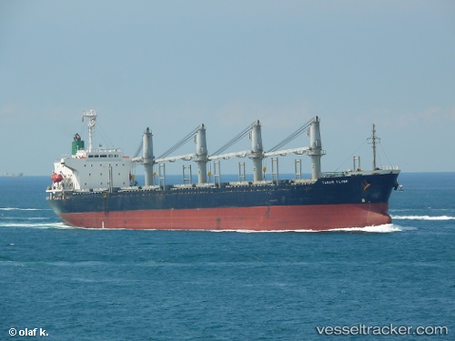
Vessel profile: Tanais Flyer is a Bulk Carrier with dimensions 169m x 28m.
This page combines live AIS, route history, probable destination signals, nearby traffic, and port activity for practical vessel monitoring.
The current position of vessel Tanais Flyer is 5.84885 lat / 79.71063 lng. Updated: 2026-06-17 16:50:44 UTCNearest reference points:
- 38 nm SW of Galle
- 19 nm SW of Bataduwa
- 36 nm S of Koggala
Currently sailing under the flag of Belize ![]()
Tanais Flyer built in 1998 year
Deadweight:
28674 tDetails:
Live Vessel Tanais Flyer Analytics (details, animations, etc.)
Recent AIS points (UTC):
2026-06-17 13:20:05 UTC · 5.99146, 79.02446 · SOG 11.7 kn · COG -1°2026-06-17 14:25:05 UTC · 5.93084, 79.22413 · SOG 11.9 kn · COG -1°
2026-06-17 16:28:12 UTC · 5.86333, 79.63500 · SOG 12 kn · COG -1°
2026-06-17 16:50:44 UTC · 5.84885, 79.71063 · SOG 12.3 kn · COG -1°