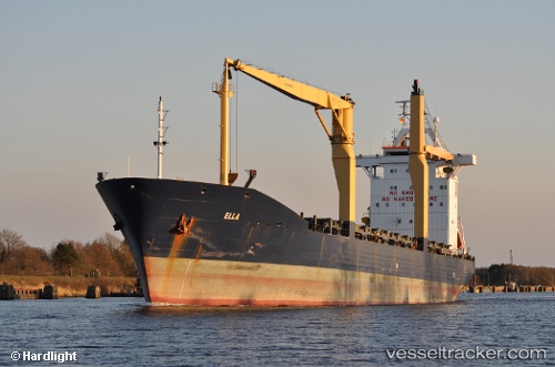
Luka
Current StatusWhere is the vessel?
Luka is currently in Near Burrard Inlet, based on AIS data received about 152d ago.
Latest AIS update:
Current position: 49.29338° N, 123.23301° W (Near Burrard Inlet)
Average speed (last 7 days): Loading…
Average speed (last 30 days): Loading…
Vessel profile: Luka is a Multi Purpose Carrier with dimensions 24m x 153m.
This page combines live AIS, route history, probable destination signals, nearby traffic, and port activity for practical vessel monitoring.
The current position of vessel Luka is 49.29338 lat / -123.23301 lng. Updated: 2025-12-18 16:32:52 UTCNearest reference points:
- Near Burrard Inlet
- Near English Bay
- Near Vancouver
Details:
Live Vessel Luka Analytics (details, animations, etc.)
Recent AIS points (UTC):
2025-12-18 16:32:52 UTC · 49.29338, -123.23301 · SOG 6.5 kn · COG 113°