 AKRA105
Current Status
Where is the vessel?
AKRA105 is currently in Near Balikpapan, based on AIS data received about 15h ago.
Latest AIS update:
Current position: 1.29072° S, 116.80573° E (Near Balikpapan)
Average speed (last 7 days): Loading…
Average speed (last 30 days): Loading…
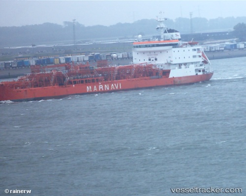
Vessel profile: AKRA105 is a Oil/Chemical Tanker with dimensions m x m.
This page combines live AIS, route history, probable destination signals, nearby traffic, and port activity for practical vessel monitoring.
The current position of vessel AKRA105 is -1.29072 lat / 116.80573 lng. Updated: 2026-07-15 03:53:52 UTCNearest reference points:
- Near Balikpapan
- Near KARIANGAU
- Near Penajam
Currently sailing under the flag of Indonesia ![]()
Details:
Live Vessel AKRA105 Analytics (details, animations, etc.)
Recent AIS points (UTC):
2026-07-15 00:29:48 UTC · -1.29040, 116.80584 · SOG 0 kn · COG 309°2026-07-15 01:53:49 UTC · -1.29093, 116.80577 · SOG 0.1 kn · COG 310°
2026-07-15 02:32:50 UTC · -1.29102, 116.80575 · SOG 0 kn · COG 316°
2026-07-15 03:53:52 UTC · -1.29072, 116.80573 · SOG 0 kn · COG 295°