 OCEANA SKY
Current Status
Where is the vessel?
OCEANA SKY is currently in Near Offshore Fujairah, based on AIS data received about 14h ago.
Latest AIS update:
Current position: 25.30052° N, 56.52883° E (Near Offshore Fujairah)
Average speed (last 7 days): Loading…
Average speed (last 30 days): Loading…
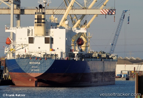
Vessel profile: OCEANA SKY is a General Cargo Ship with dimensions 195m x 195m.
This page combines live AIS, route history, probable destination signals, nearby traffic, and port activity for practical vessel monitoring.
The current position of vessel OCEANA SKY is 25.30052 lat / 56.52883 lng. Updated: 2026-07-08 11:10:35 UTCNearest reference points:
- Near Fujairah
- Near KHORFAKKAN
- Near Offshore Fujairah
Currently sailing under the flag of Panama ![]()
OCEANA SKY built in 1998 year
Deadweight:
50655 tDetails:
Live Vessel OCEANA SKY Analytics (details, animations, etc.)
Recent AIS points (UTC):
2026-07-08 08:05:56 UTC · 25.29869, 56.52891 · SOG 0.1 kn · COG 66°2026-07-08 09:20:02 UTC · 25.29960, 56.52853 · SOG 0.4 kn · COG 87°
2026-07-08 10:12:48 UTC · 25.30008, 56.52860 · SOG 0.1 kn · COG 107°
2026-07-08 11:10:35 UTC · 25.30052, 56.52883 · SOG 0.2 kn · COG 120°