 vesseltracker.com
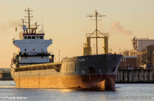
 My Armony
Current Status
Where is the vessel?
My Armony is currently in Near Berja, based on AIS data received about 3h ago.
Latest AIS update:
Current position: 36.88332° N, 2.83370° E (Near Berja)
Average speed (last 7 days): Loading…
Average speed (last 30 days): Loading…
Vessel profile: My Armony is a Multi Purpose Carrier with dimensions 95m x 14m.
This page combines live AIS, route history, probable destination signals, nearby traffic, and port activity for practical vessel monitoring.
The current position of vessel My Armony is 36.88332 lat / 2.83370 lng. Updated: 2026-05-15 13:33:33 UTCNearest reference points:
- Near Algiers
- 16 nm NE of Berja
- 17 nm S of Albanchez
Currently sailing under the flag of Barbados ![]()
My Armony built in 1999 year
Deadweight:
5047 tDetails:
Live Vessel My Armony Analytics (details, animations, etc.)
Recent AIS points (UTC):
2026-05-15 11:35:52 UTC · 36.92607, 3.01589 · SOG 4.7 kn · COG 255°2026-05-15 13:02:33 UTC · 36.89180, 2.88438 · SOG 4 kn · COG 260°
2026-05-15 13:21:43 UTC · 36.88701, 2.85279 · SOG 4.4 kn · COG 260°
2026-05-15 13:33:33 UTC · 36.88332, 2.83370 · SOG 4.8 kn · COG 260°