 MT.GRIYA BUGIS
Current Status
Where is the vessel?
MT.GRIYA BUGIS is currently in 20 nm SW of SUNGAI UDANG, based on AIS data received about 14h ago.
Latest AIS update:
Current position: 1.99054° N, 101.90295° E (20 nm SW of SUNGAI UDANG)
Average speed (last 7 days): Loading…
Average speed (last 30 days): Loading…
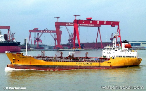
Vessel profile: MT.GRIYA BUGIS is a Oil/Chemical Tanker with dimensions m x m.
This page combines live AIS, route history, probable destination signals, nearby traffic, and port activity for practical vessel monitoring.
The current position of vessel MT.GRIYA BUGIS is 1.99054 lat / 101.90295 lng. Updated: 2026-05-20 09:47:31 UTCNearest reference points:
- 14 nm W of SUNGAI UDANG
- Near SUNGAI UDANG
- Near Malacca
Currently sailing under the flag of Indonesia ![]()
Details:
Live Vessel MT.GRIYA BUGIS Analytics (details, animations, etc.)
Recent AIS points (UTC):
2026-05-20 06:13:41 UTC · 2.34832, 101.42541 · SOG 10.1 kn · COG -1°2026-05-20 07:18:44 UTC · 2.21891, 101.55607 · SOG 9.8 kn · COG -1°
2026-05-20 07:38:53 UTC · 2.18126, 101.60323 · SOG 10 kn · COG 123°
2026-05-20 09:47:31 UTC · 1.99054, 101.90295 · SOG 10.3 kn · COG 126°