 DUBRA
DUBRA
Current Status
Where is the vessel?
DUBRA is currently in 33 nm S of Belida Terminal, based on AIS data received about 15h ago.
Latest AIS update:
Current position: 3.59500° N, 105.03833° E (33 nm S of Belida Terminal)
Average speed (last 7 days): Loading…
Average speed (last 30 days): Loading…
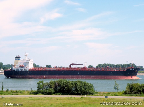
Vessel profile: DUBRA is a Oil/Chemical Tanker with dimensions m x m.
This page combines live AIS, route history, probable destination signals, nearby traffic, and port activity for practical vessel monitoring.
The current position of vessel DUBRA is 3.59500 lat / 105.03833 lng. Updated: 2026-05-23 02:03:14 UTCNearest reference points:
- 39 nm SE of Belida Terminal
- 26 nm E of Belida Terminal
- 30 nm SW of Belanak Terminal
Currently sailing under the flag of Sierra Leone ![]()
Details:
Live Vessel DUBRA Analytics (details, animations, etc.)
Recent AIS points (UTC):
2026-05-22 21:58:20 UTC · 3.80690, 104.91097 · SOG 14.3 kn · COG -1°2026-05-22 23:53:40 UTC · 3.79581, 105.30124 · SOG 13.3 kn · COG -1°
2026-05-23 01:34:46 UTC · 3.60705, 105.05214 · SOG 3.2 kn · COG -1°
2026-05-23 02:03:14 UTC · 3.59500, 105.03833 · SOG 1 kn · COG -1°