 Artavand
Current Status
Where is the vessel?
Artavand is currently in 21 nm E of Basrah Oil Terminal, based on AIS data received about 17h ago.
Latest AIS update:
Current position: 29.85548° N, 49.21481° E (21 nm E of Basrah Oil Terminal)
Average speed (last 7 days): Loading…
Average speed (last 30 days): Loading…
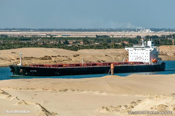
Vessel profile: Artavand is a Bulk Carrier with dimensions 225m x 32m.
This page combines live AIS, route history, probable destination signals, nearby traffic, and port activity for practical vessel monitoring.
The current position of vessel Artavand is 29.85548 lat / 49.21481 lng. Updated: 2026-05-20 22:42:53 UTCNearest reference points:
- 15 nm S of Imam Khomeini Pt/ Mahshahr City
- 11 nm SW of Basrah Oil Terminal
- 19 nm SW of Soroosh (Cyrus) Terminal
Currently sailing under the flag of Iran ![]()
Artavand built in 2000 year
Deadweight:
72622 tDetails:
Live Vessel Artavand Analytics (details, animations, etc.)
Recent AIS points (UTC):
2026-05-20 22:42:53 UTC · 29.85548, 49.21481 · SOG 0 kn · COG 127°2026-05-20 22:42:53 UTC · 29.85548, 49.21481 · SOG 0 kn · COG 127°
2026-05-20 22:42:53 UTC · 29.85548, 49.21481 · SOG 0 kn · COG 127°
2026-05-20 22:42:53 UTC · 29.85548, 49.21481 · SOG 0 kn · COG 127°